
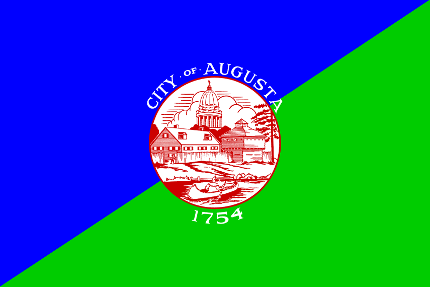
Augusta's flag divides its field on the diagonal, blue above, green below, with a red and white disc at its center: the city's seal, a dome and buildings on the banks of the Kennebec, dated 1754. But Augusta deserves better than to be forgotten.
The town was founded in 1628 as a fur trading post on the banks of the Kennebec. For two centuries it was no more than a waypoint between the forested backcountry and the coast. Then came 1832: Augusta became the capital of Maine, unseating Portland. A geographic choice, the state's center of gravity, that still surprises Mainers.
At the end of the 19th century, Augusta was shipping blocks of ice as far as the Caribbean. The "Ice King of Maine" cooled the whole of America from its rivers.
Today Augusta is the third smallest state capital by population, around 19,000 people. State buildings dominate the landscape, the granite Capitol sits on the heights, and life moves to the rhythm of legislative sessions.
The flag does show the river, but tells nothing of the ice or the furs. It flies, official and discreet, above a city that has always preferred to work in the shadows.